Avoid costly land clearing mistakes with this expert guide from Wilderness Pathways. Learn how to clear trails safely and boost land usability in Wisconsin.
Want to sell your land faster and for more? Learn how professional trail clearing increases property value and buyer engagement in Wisconsin.
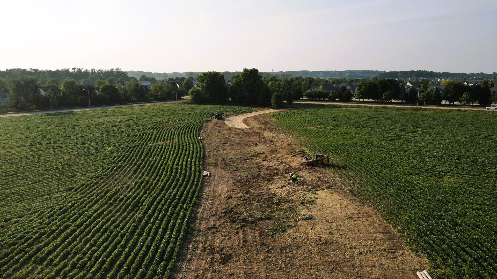
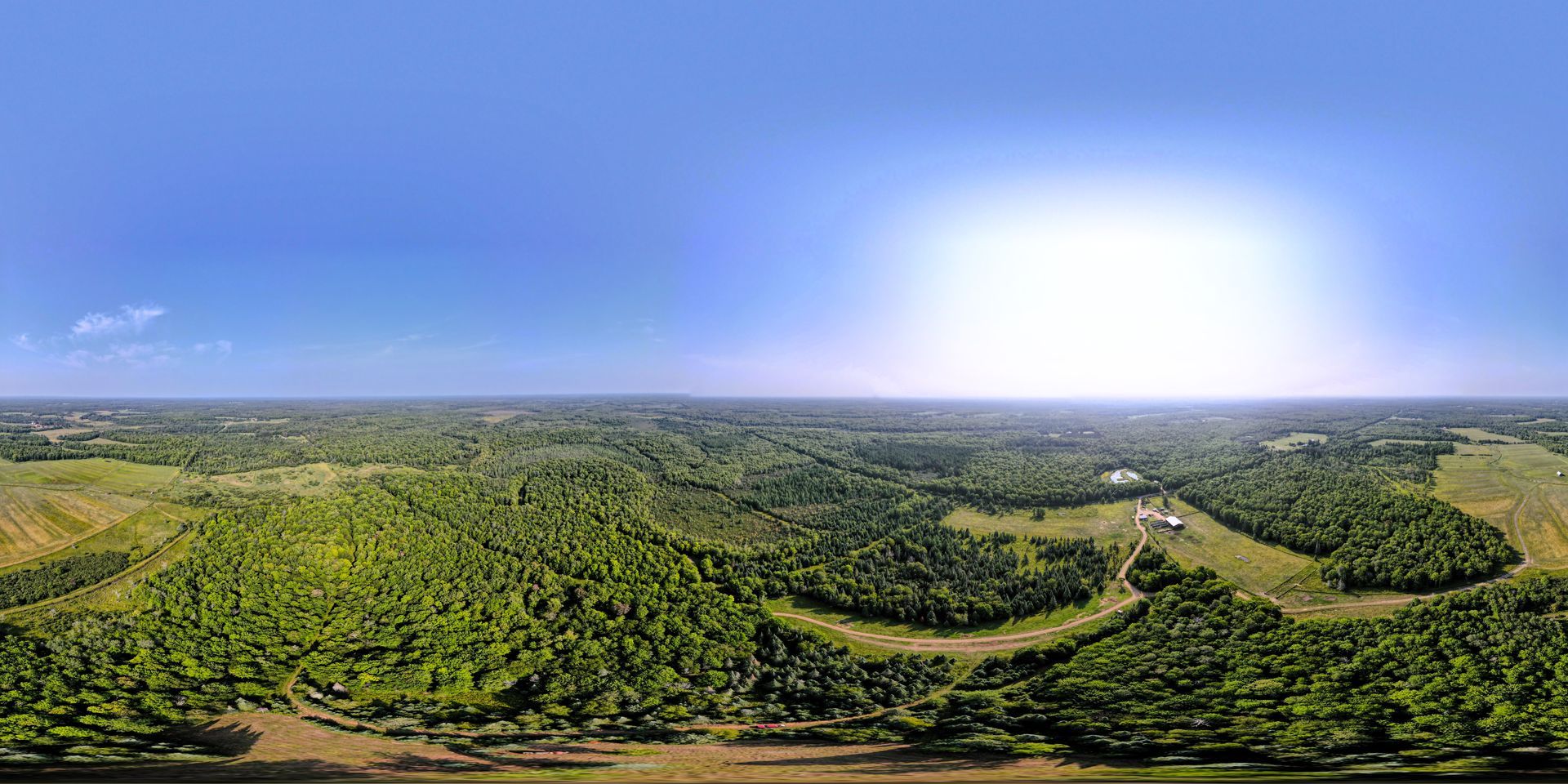
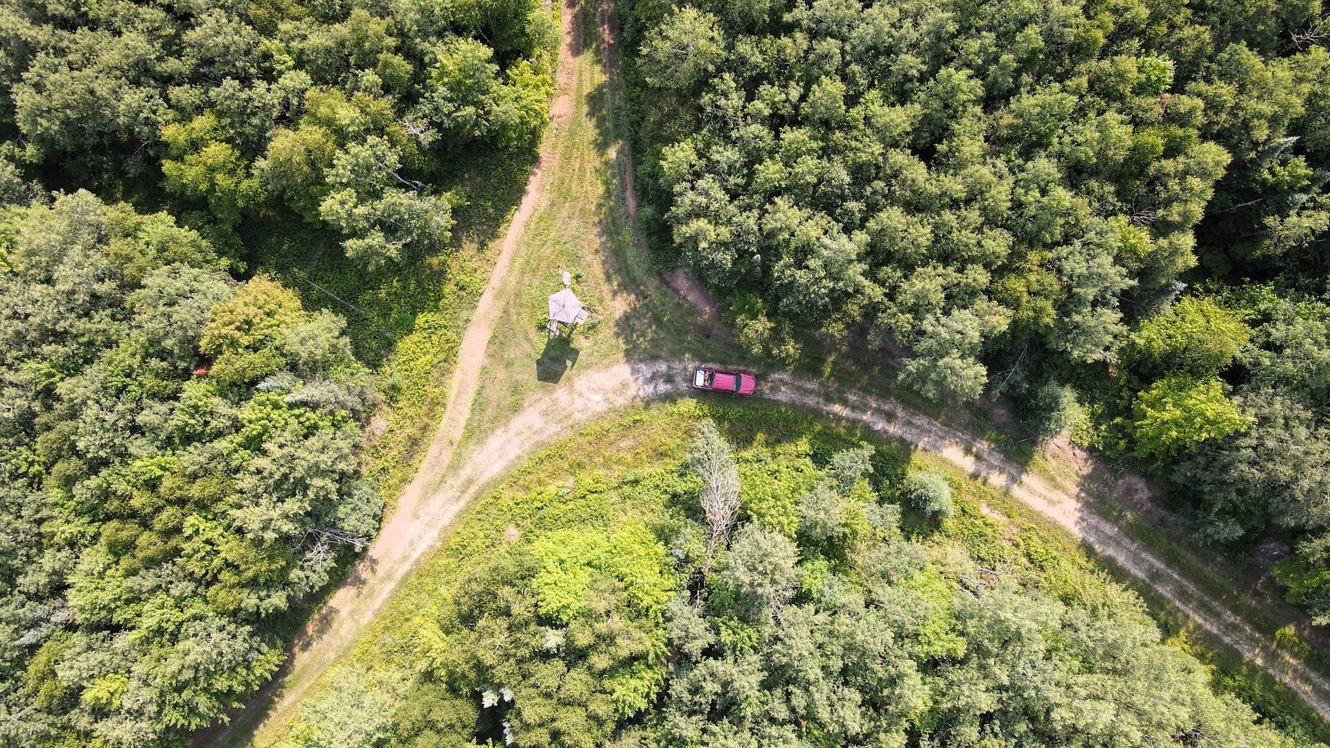
Discover what drone mapping really reveals about your land. Get expert insights from Wilderness Pathways on topography, usage, and property planning.